|
| About Norfolk | Maps | Place
Names | Other Places | History
| Back |
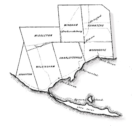
| Township maps are huge. Be prepared for
long downloads: several minutes each at 56 kbps. Individual township maps
are from 1877 Illustrated Atlas of Norfolk County and include the
lot owner's name over each lot. They were scanned at, and are courtesy of, McGill
University. Select the township enlargement
you want by clicking on the township below. (To return to this page just close the township map's window.) |
|
|
|